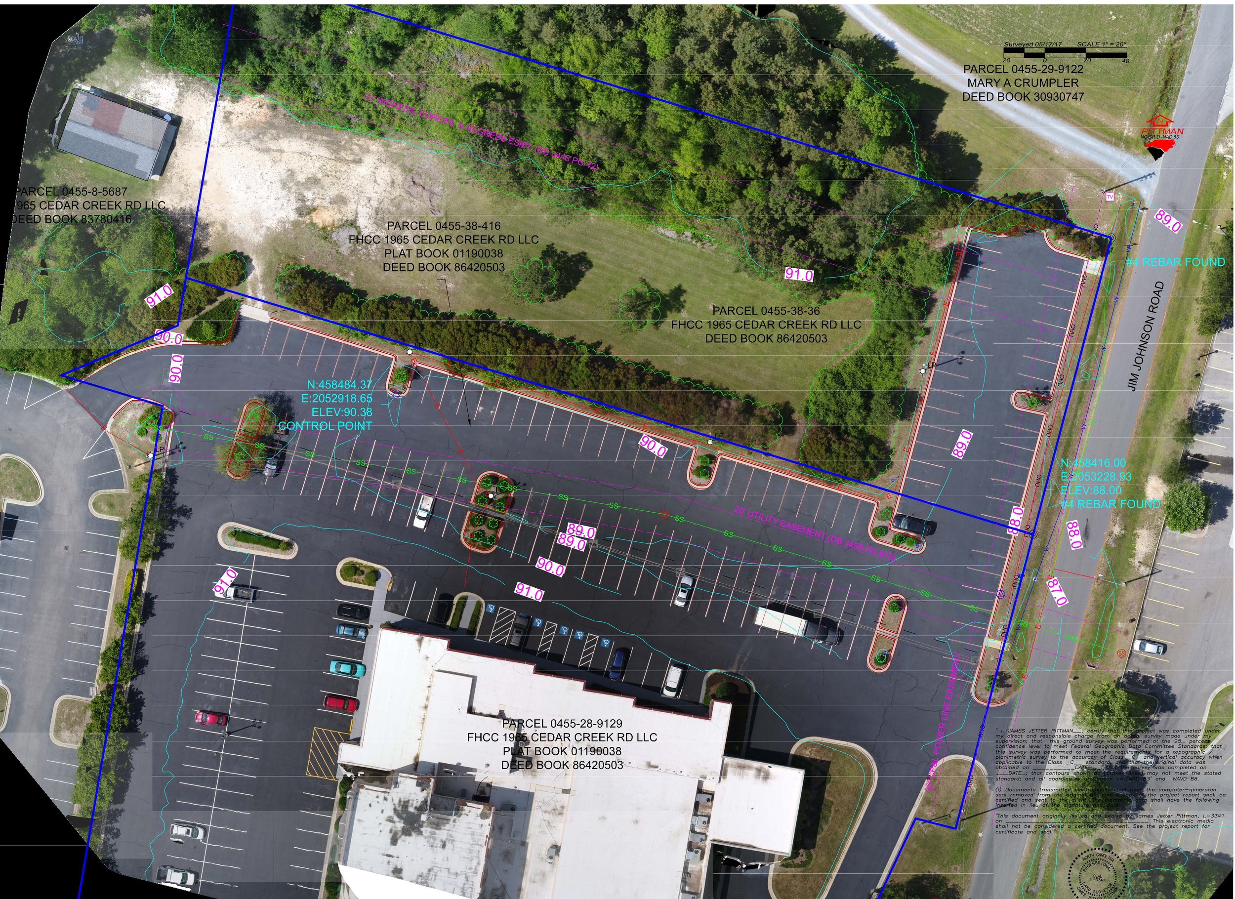
Our services
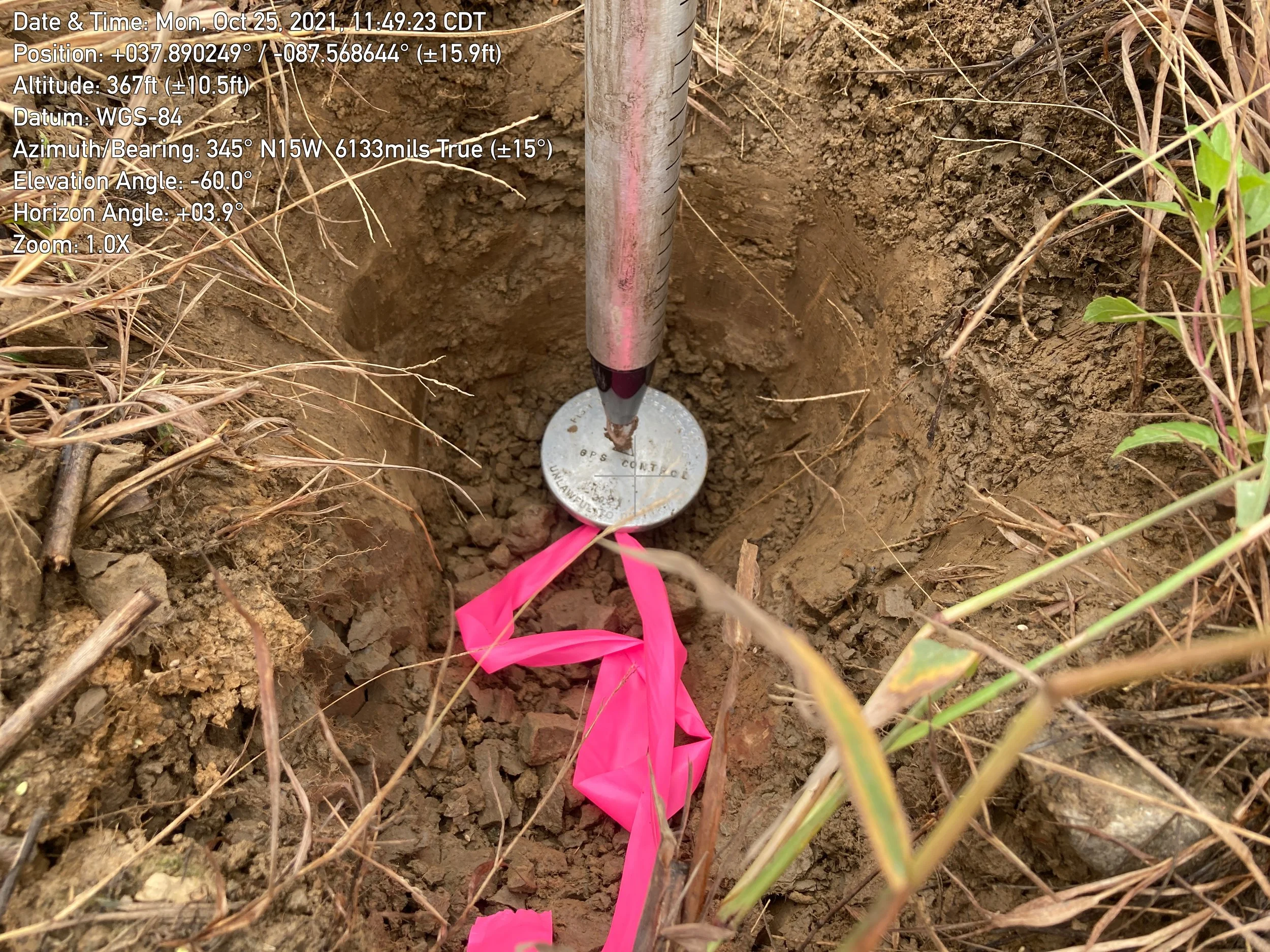
boundary surveys
We provide ALTA/NSPS land boundary surveys designed to protect our clients’ interests and eliminate uncertainty. Our meticulous approach helps prevent costly property disputes, supports smooth real estate transactions, and offers landowners, developers, and stakeholders the clarity they need to plan confidently. By combining technical expertise with a thorough understanding of local regulations, we ensure every boundary is documented accurately, transparently, and in a way that stands up to legal scrutiny.

drone surveys
Drone surveying uses unmanned aerial vehicles (UAVs) equipped with cameras and to capture high-resolution geospatial data for mapping, 3D modeling, and analysis. This method offers significant advantages in speed, cost-effectiveness, and safety compared to traditional surveying techniques.
lidar contour overlays
We provide USGS high resolution Lidar contour overlays initially collected as a “point cloud” of individual points reflected from everything on the surface, including structures and vegetation. To produce a “bare earth” Digital Elevation Model (DEM), structures and vegetation are stripped away. Lidar contour accuracy varies but is generally high, often supporting detailed contours (e.g., 1-2 foot intervals).
Accuracy depends heavily on terrain, vegetation density. This data is being utilized by many different disciplines across business sectors. Ultimately, this data makes for more efficient planning, better infrastructure.
elevation certification
Our Elevation Certification surveys provide accurate, verified elevation data essential for insurance, permitting, and floodplain compliance. By measuring structures relative to established benchmarks, we produce documentation that meets local, state, and FEMA standards.
These surveys help property owners and developers assess flood risk, secure proper insurance, and satisfy regulatory requirements, ensuring properties are safe, compliant, and properly documented.

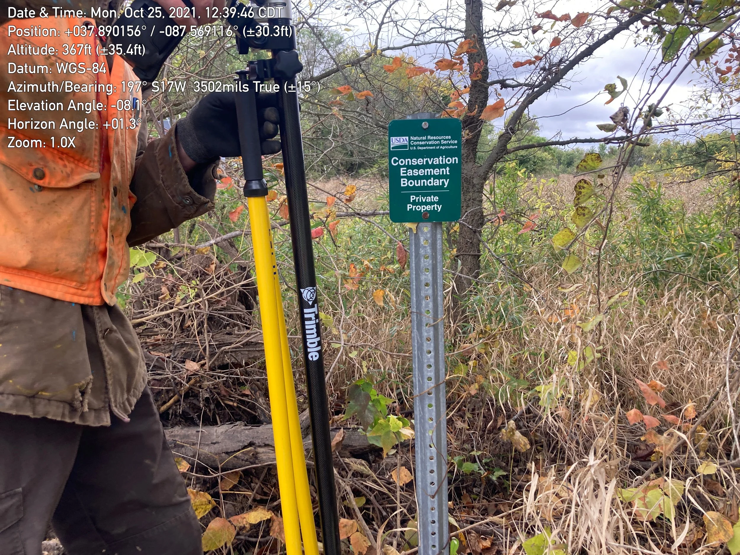
conservation easement
Our Conservation Easement surveys provide detailed documentation and mapping of protected lands to ensure compliance with legal agreements and promote long-term stewardship. By clearly defining boundaries, sensitive habitats, and restricted areas, we help landowners and conservation organizations understand their responsibilities and maintain the integrity of the easement.
These surveys support effective land management, prevent disputes, and ensure that conserved properties are preserved and protected for future generations.